Smart GIS Solutions for a Smarter World
Expert Mapping & Spatial Intelligence
Core Services
🛰️
Remote Sensing
NDVI, NDWI, and change detection using satellite imagery.
📊
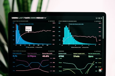
GEE Dashboards
Interactive Rainfall and Aquifer dashboards using Earth Engine.
🗺️
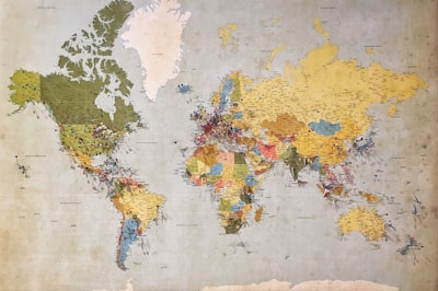
GIS Mapping
Thematic mapping and spatial analysis using QGIS/ArcGIS.
🎨
Graphic Design
Professional posters and visual communication layouts.
📝
Research Support
Mapping for academic papers and Elsevier-style reports.
🌍
Web GIS
Developing interactive map applications with Leaflet and AI.
Project Highlights
QGIS
Mapping Jharkhand
Population density and administrative mapping.

Remote Sensing
LULC Map (1998)
Historical Land Use and Land Cover tracking.
GEE
Rainfall Dashboard
Interactive data visualization with Earth Engine.